Randonnée des 4 Lacs Hike in Jura – Everything You Need to Know
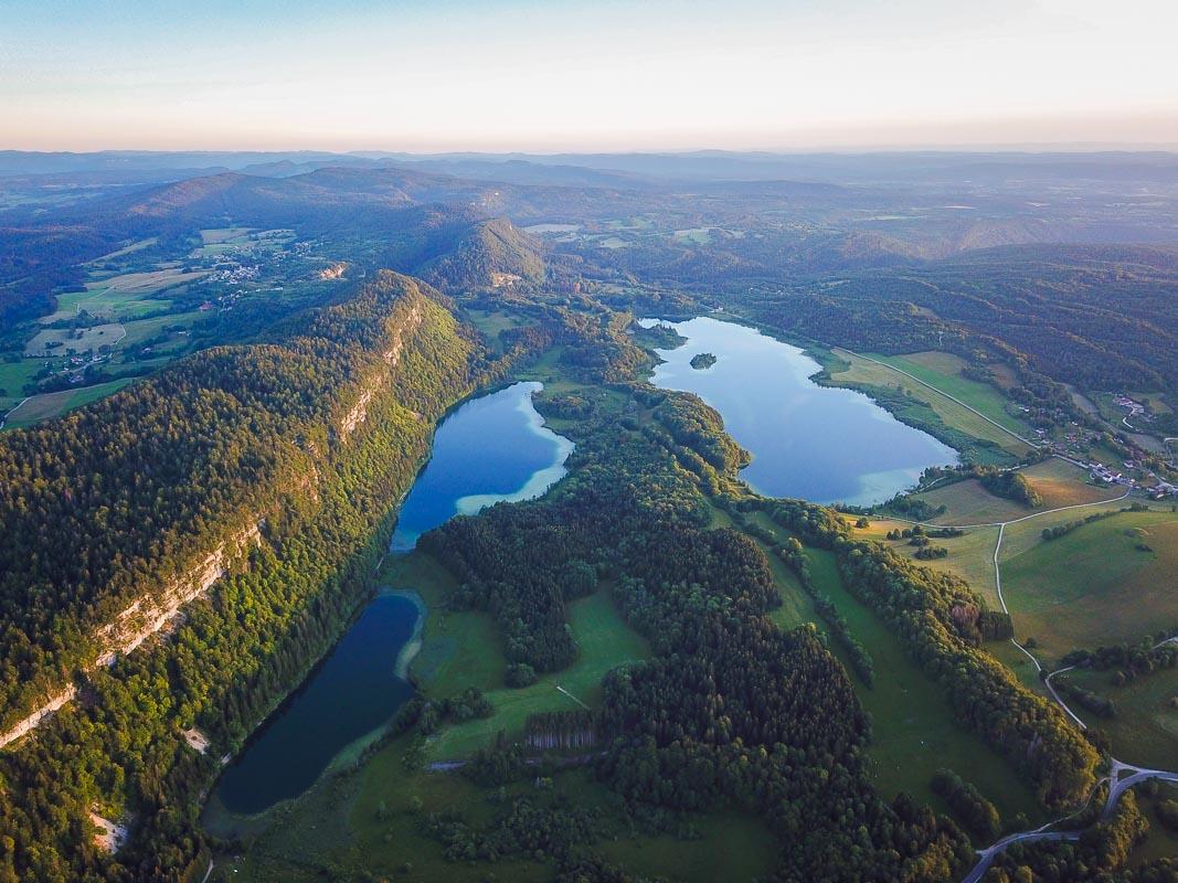
Les 4 Lacs are 4 lakes in Jura: Lac de Narlay, Lac d’Ilay, Le Grand Maclu and Le Petit Maclu.
They are right next to one another, and you can easily hike around the 4 lakes in 3 hours.
The hike offers great views all along, and it’s definitely one of my favorites hikes in Jura.
Let’s see how to get to it and details of the hike!
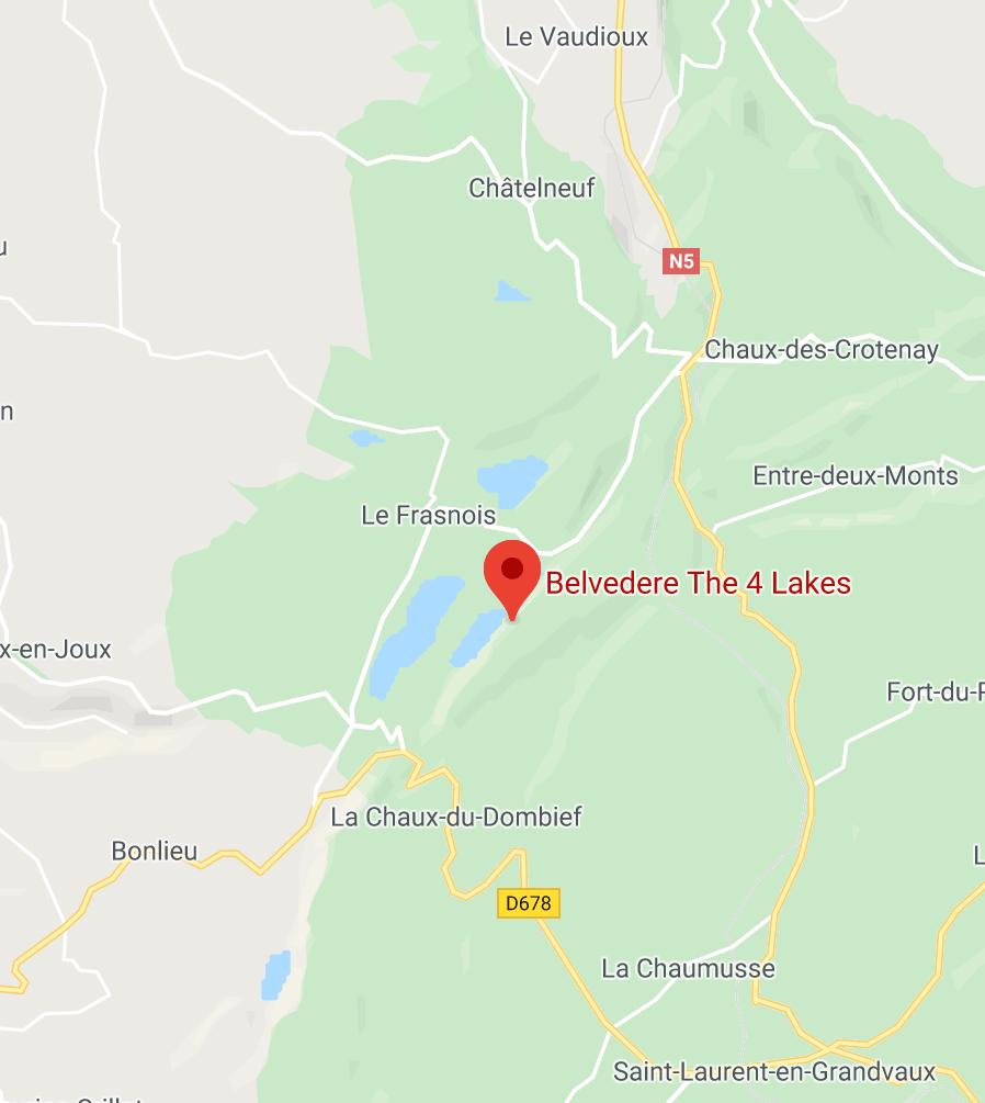
How to Get to the 4 Lacs
The 4 Lacs are located in the East of Jura, 18mn south of Champagnole and 40mn east of the department capital Lons-le-Saunier.
Location: Google Maps
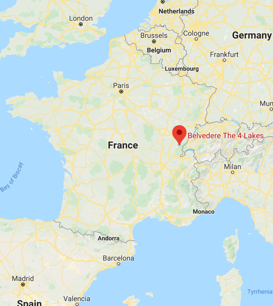
It’s not far from the Gorges de la Langouette (12mn), and the famous Cascades du Hérisson (13mn).
You can drive all the way to any of the 4 lakes, and you’ll find free parking lots near each lake. I recommend going to this free parking lot to start your hike.
Randonnée des 4 Lacs Hike Details
There are 2 main hikes you can do around the lakes:
- tour des 4 lacs
- tour des 3 lacs
The main one that goes around the 4 lakes, or a shorter variant that only goes around 3 of the 4 lakes. Let’s see the details of the 2 hikes.
1. Tour des 4 Lacs, Jura
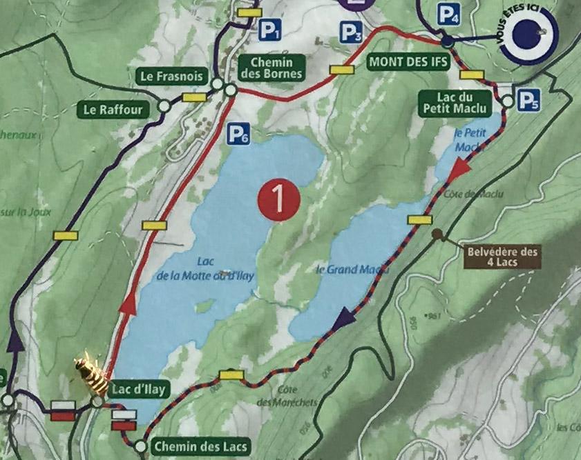
This is the main hike in the area, the one that goes around the 4 lakes. It’s named the “Randonnée des 4 Lacs Jura”, literally the 4 Lakes Hike. Since the hike is a loop around the lakes, you can start it wherever you want along the loop.
Below is the suggested starting point (the one where I started the hike), but you can start from any of the lakes.
Tour des 4 Lacs

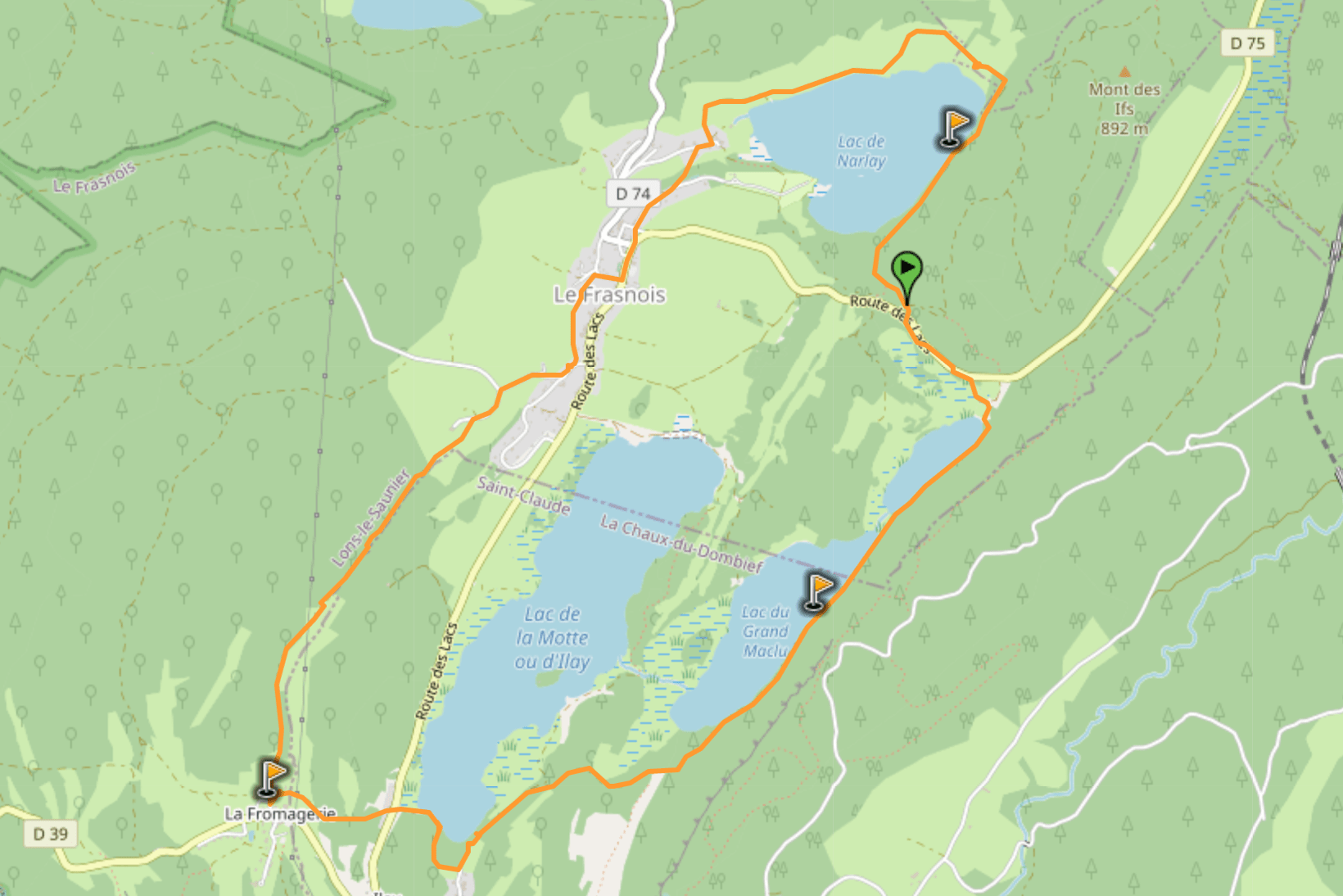
Hike distance: the distance of the hike is 11.2km / 7 miles
Hike duration: if you simply go around the lakes without any stop, the hike takes 3h to complete
Hike difficulty: an easy hike on good trails, no challenging part, it can even be done with strollers/bikes
Hike elevation: 214m (702 feet) total elevation change on the hike, but you barely feel it as it’s spread out along the hike
2. Tour des 3 Lacs
This second hike is a shorter version of the first one, and only goes around 3 of the lakes. It’s a good option if you don’t want to hike too much, or if you don’t have too much time.
Tour des 3 Lacs
Sorry no GPX file for this one: just go from the starting point to Le Frasnois and start hiking along the Lac d’Ilay. Essentially don’t go up around the Lac de Narlay and you’ll be fine.
Also, yes that’s a bee on the map.
Hiking Around the Lakes
Our first day in Jura was pretty chill, exploring the medieval village of Château-Chalon. The second day was going to be more adventurous.
We drove to the free parking lot to start the 4 lacs hike, but decided to climb to the Belvédère du Mont des Ifs first. After this little detour, we were ready to hike around the lakes!
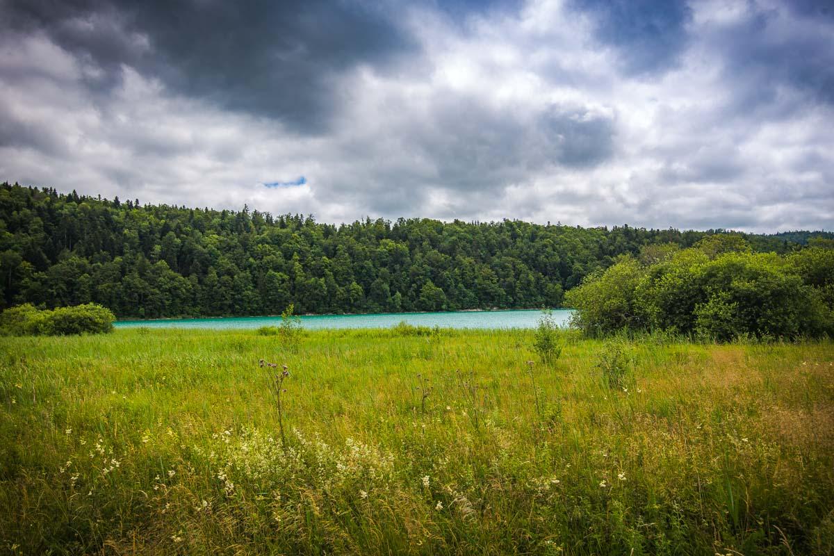
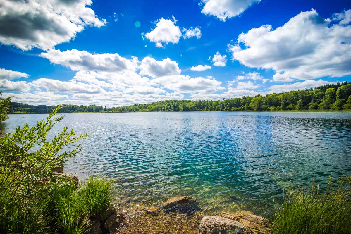
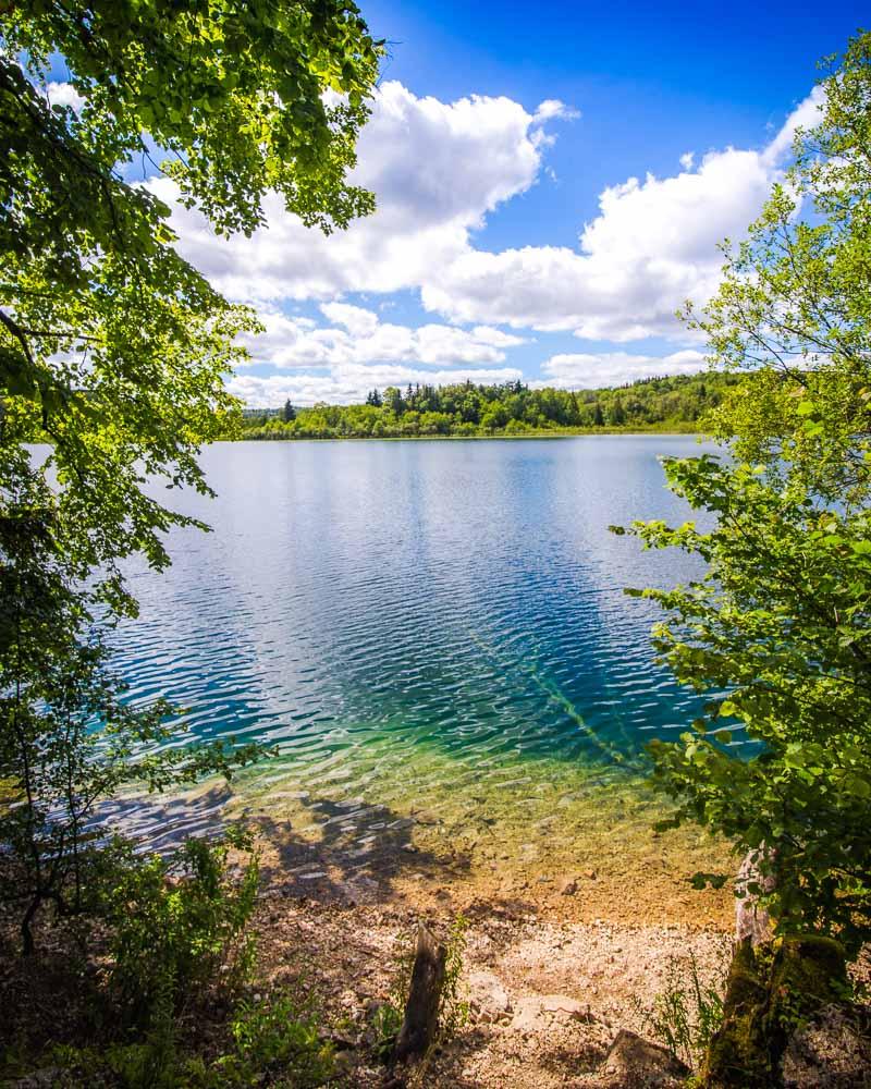
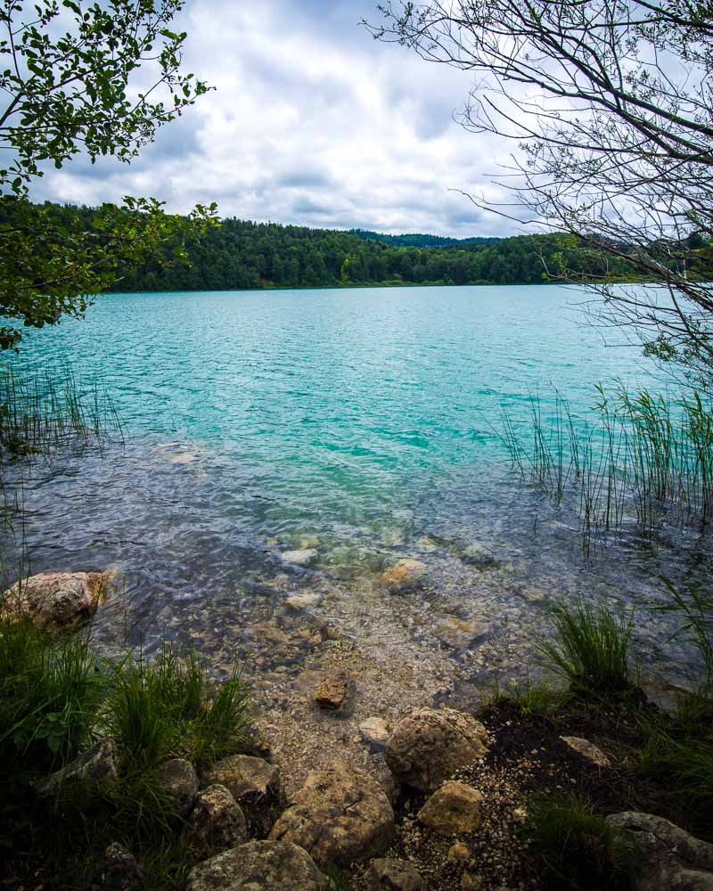
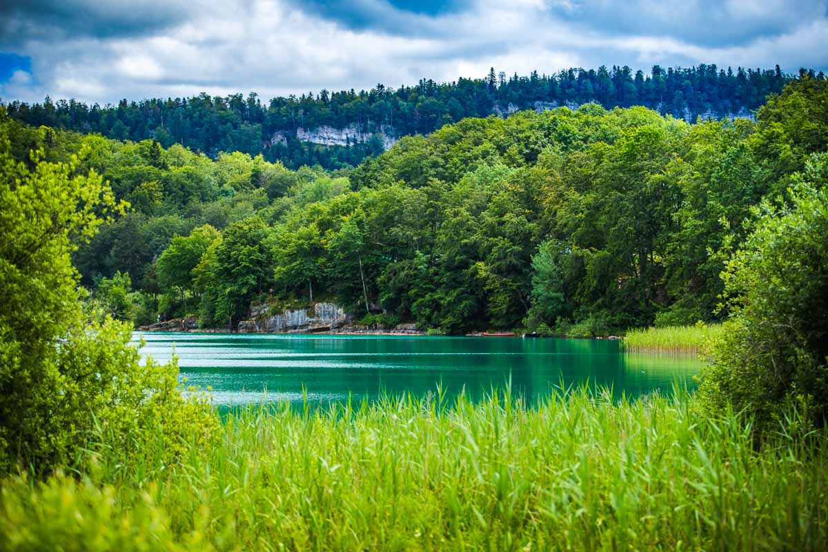
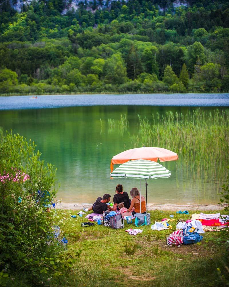
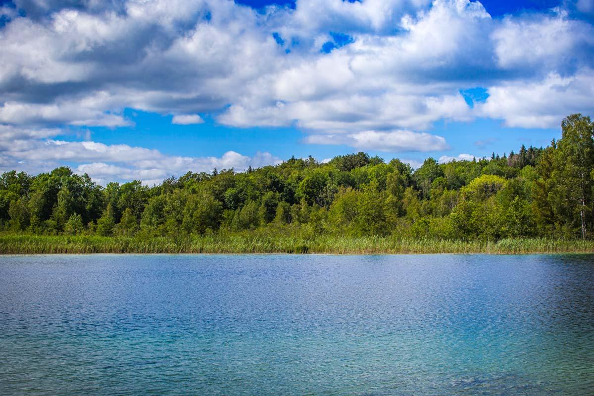
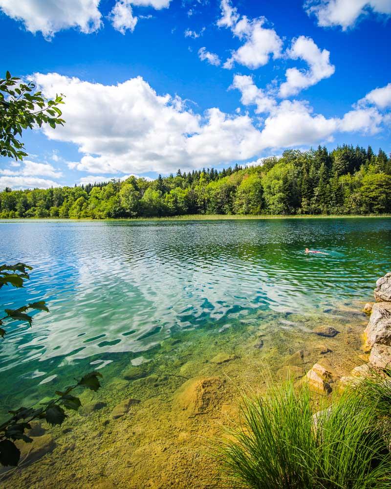
We started the hike by going around the Lac de Narlay (reverse way from the GPX file above), a big lake with a lot of space to just sit down and chill for a while in front of the water.
We hiked around, getting close to the Camping Lac de Narlay, where there’s direct access to the water and people usually swim, jump from rocks and get in their kayaks.
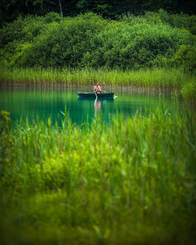
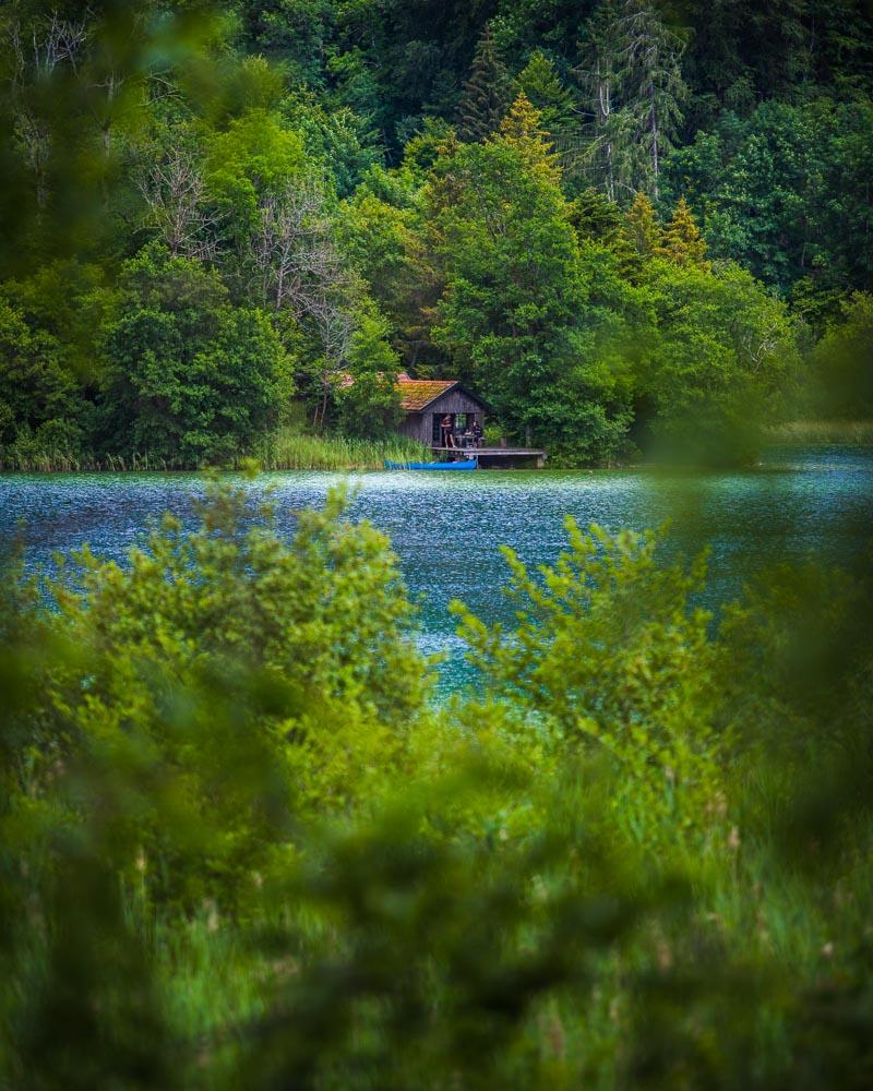
Local fisherman
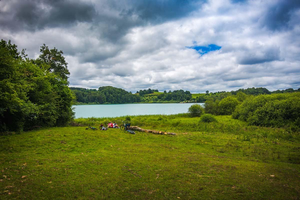
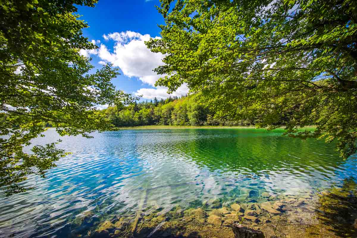
After the first lake, we crossed the little village Le Frasnois over to the second lake: Lac de la Motte (aka Lac d’Ilay). When we got near it, we noticed a huge empty field with haystacks, and decided to hike in the field rather than following the usual trail (on the road, further from the lake).
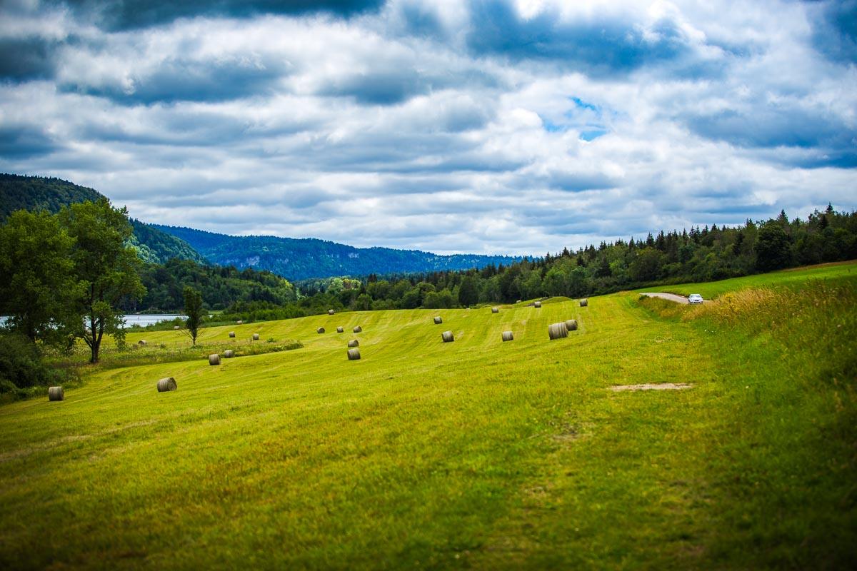
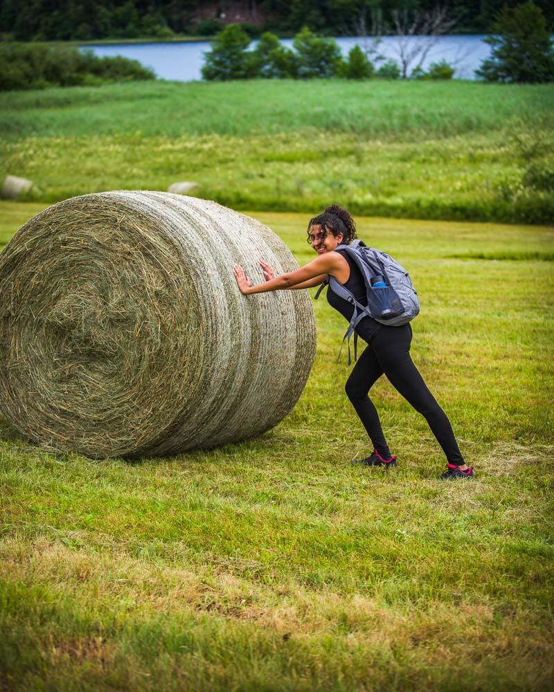
The haystack didn’t move, not one inch
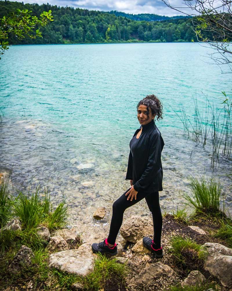
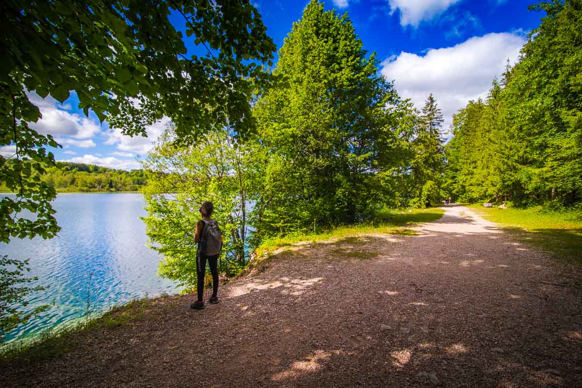
As we hiked along, the field started to narrow down, and finally we were hiking right next to the lake. At this point, there were plenty of small openings in the trees along the lake, with space to lay down & relax.
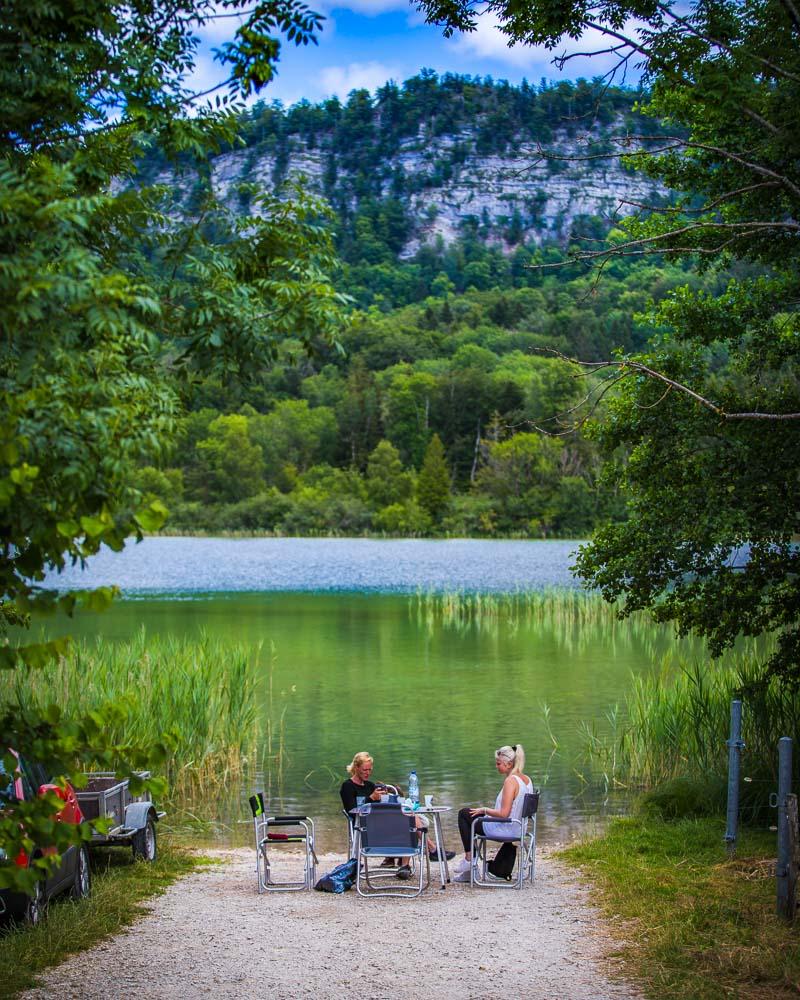
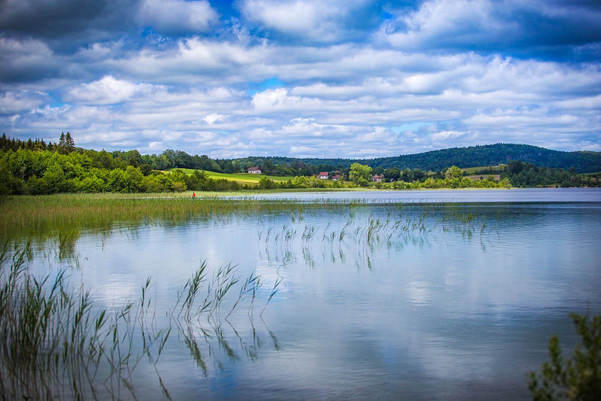
At the south tip of the lake, we were at the furthest point away from the starting point. The hike then turns around the lake and starts to head back. There on the southern part of the Lac d’Ilay, we had a beautiful, unobstructed view over the lake.
And finally we reached the 2 final lakes, le Grand Maclu and le Petit Maclu (big & small Maclu). There the trail is close to the water; on your right side you have the towering cliffs, and the lakes on the left side.
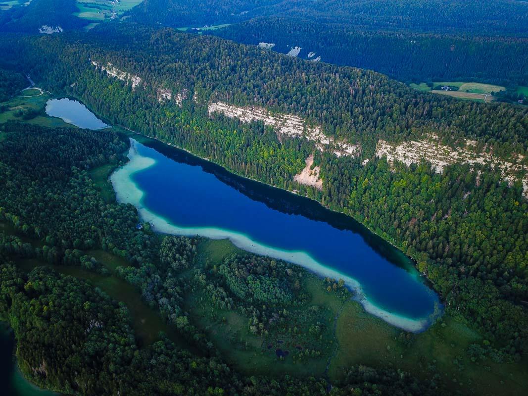
After the Petit Maclu lake, we reached the end of the hike, back to the parking lot where we started. We then hopped in the car, and drove all the way to the top of the cliffs, to see the 2 viewpoints above the lakes: Pic de l’Aigle and Belvédère des 4 Lacs.
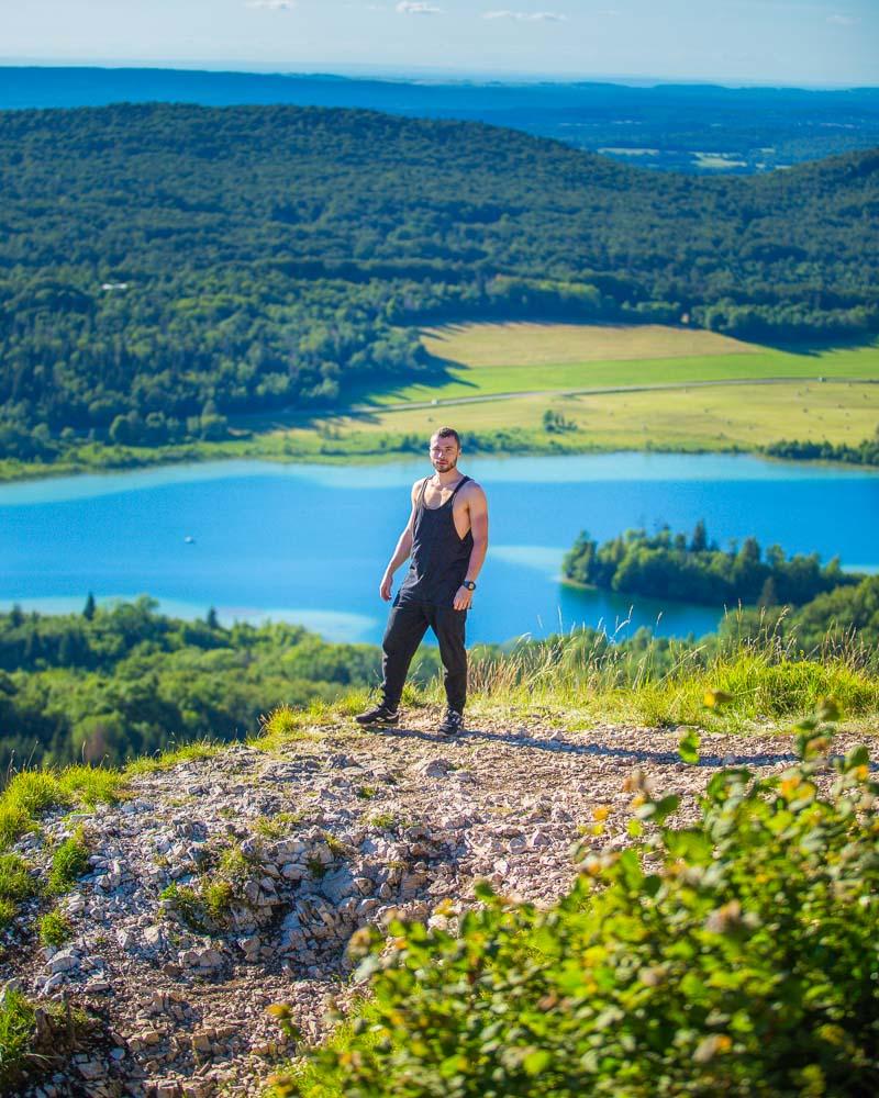
That’s me in Pic de l’Aigle over the lakes
Visit Jura
Planning your trip to Jura? You’ll find below a few other travel guides & key spots to see in the area.
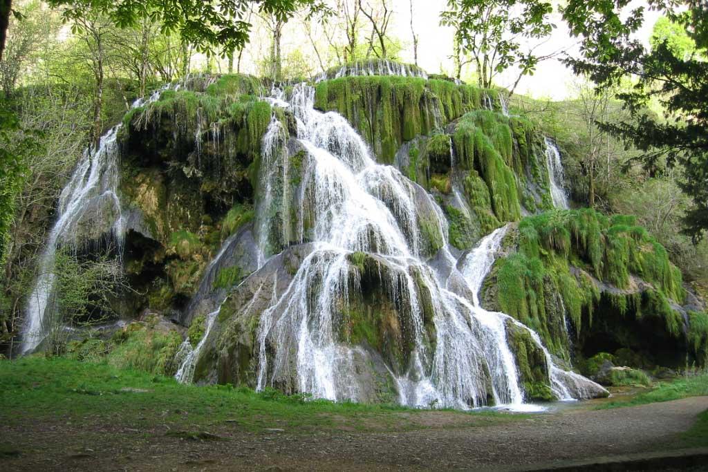
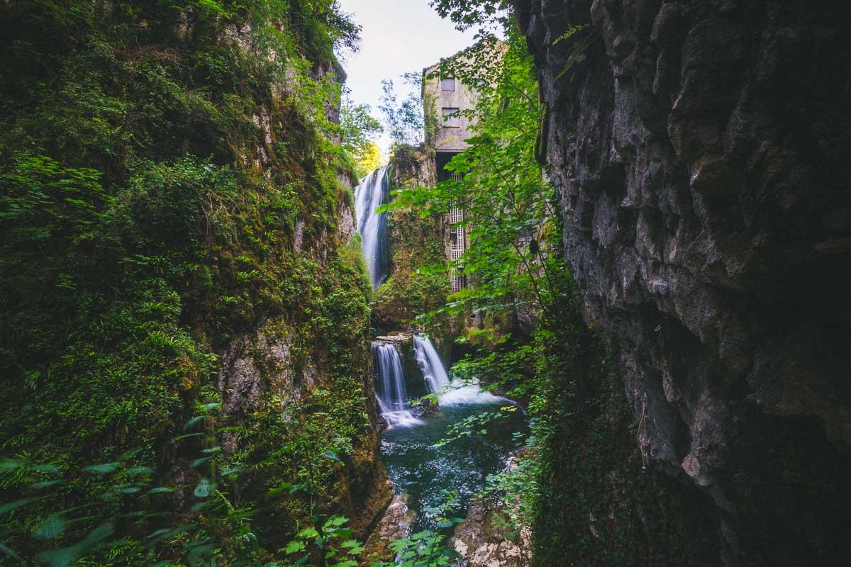
Cool waterfalls in Jura:
- Cascade de Baume les Messieurs
- Cascade des Tufs
- Cascades du Hérisson
- Cascade de la Billaude
- Gorges de la Langouette
The best hikes around:
The BIG guides:
I hope you enjoy your trip to Jura and to France; if you have any questions, let me know in the comments below, I always reply.
Help a fellow traveler and share this guide with the buttons below!
Travel Tools
Use any of our recommended links below to book your trip. You pay the same, and we earn a small fee; a great way to support us!

Pin this to Pinterest!
Enjoyed this guide? Then help a fellow traveler and pin it! They'll most definitely love you for it, 100% guarantee.