Lac Vert, Passy – How to Visit + Hike Details
The Lac Vert is a small lake in Passy, Haute-Savoie.
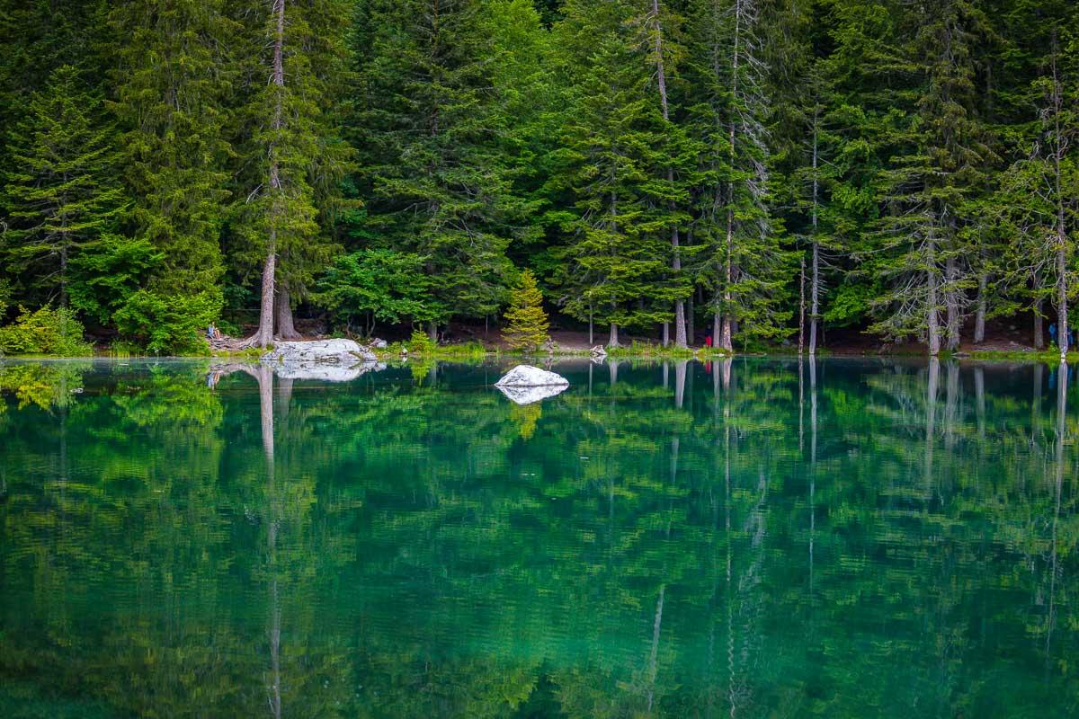
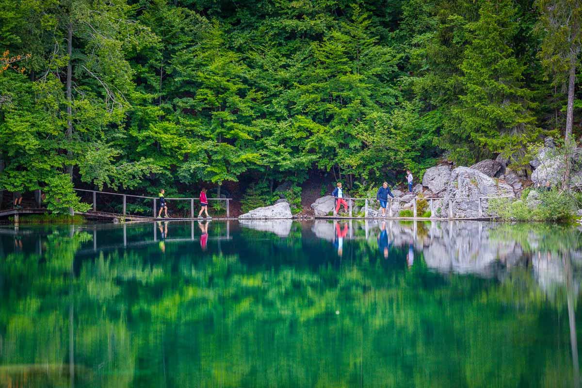
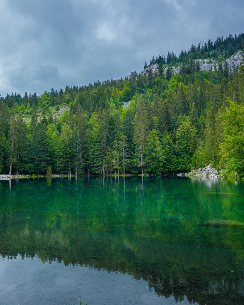
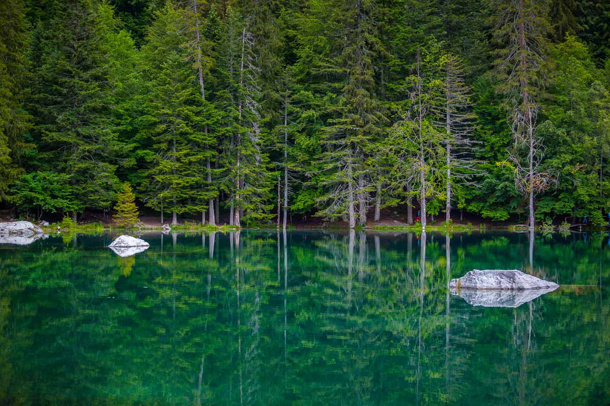
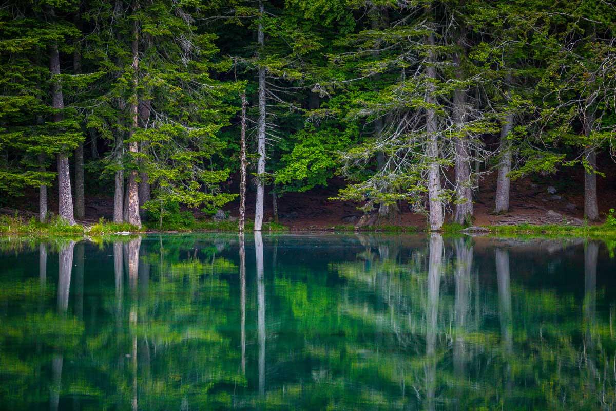
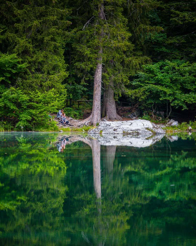
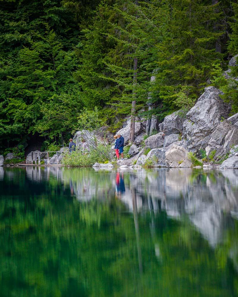
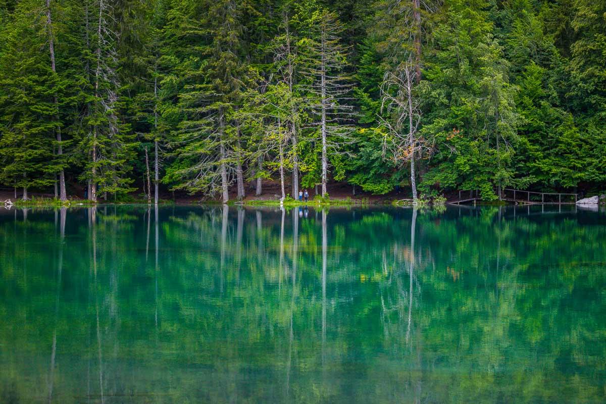
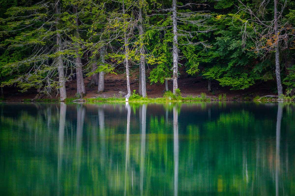
Its name means “Green Lake”; the lake is surrounded by tall trees reflecting in the water, giving it a beautiful emerald color.
Let’s see how to visit the lake & how to hike to it!
Where is the Lac Vert
The Lac Vert is located in Haute-Savoie, in the Passy area. It’s located on the south eastern part of the department, next to the border with Switzerland.
Location: Google Maps
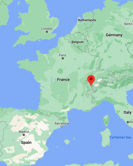
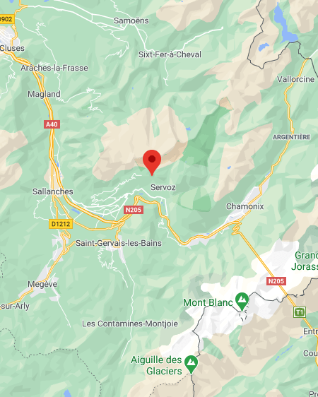
The lake is not far from the Sixt-Fer-à-Cheval area, and it’s only a short 30mn drive from Chamonix.
How to Get to the Lac Vert, Haute Savoie
You can actually drive all the way to the lake, which makes it very easy to visit.
Here are the driving times from the main nearby spots:
- from Chamonix: 30mn
- from Geneva: 1h10
- from Annecy: 1h20
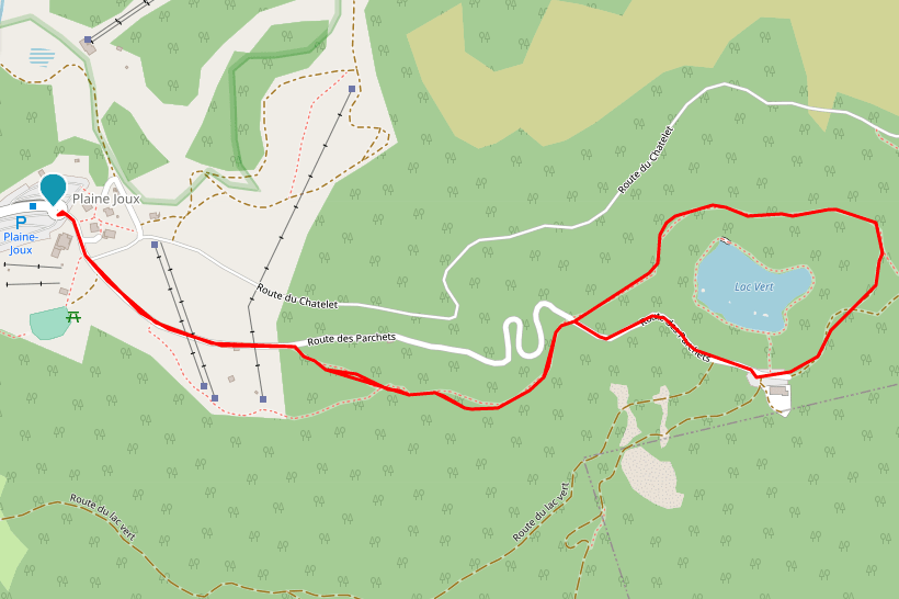
Head to Passy, on the A40 highway. Once in Passy, make your way to Plaine Joux, towards the Passy Nature Reserve entrance. From there, it’s a short 4mn drive on the Chemin des Parchets that will take you to the lake.
You can park right next to the lake, in front of the Restaurant du Lac Vert. It’s a free parking lot, but there’s a limited number of spots available (around 50). In summer, it gets crowded pretty fast.
If it’s full, don’t worry. Go back to the huge parking lot you drove through at the entrance, and park your car there. Then it’s a short hike to the lake, and it takes around 20mn to reach it by foot (details below).
Randonnée Lac Vert Servoz Hike Details
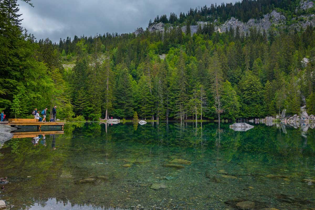
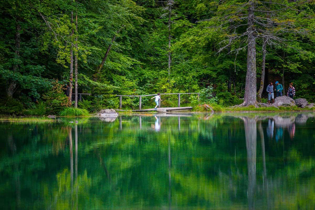
You can hike all around the lake, on a special trail with wooden bridges going over the water.
The loop around the lake takes around 15 minutes. The full hike starts from Plaine-Joux, where there’s a huge parking lot where most people usually park. If you find a parking spot right in front of the lake, you’ll only do the mini-loop around the lake.
Here are the details of the hike:
Randonnée Lac Vert

Hike distance: The distance of the hike is 3.1km / 2 miles including the return trip.
Hike duration: If you simply go down & back up, it will take you around 1h for the full loop. The part to/from the lake is around 40mn, with 20mn for the loop around the lake.
Hike elevation: there’s a very slight elevation on this hike. The trail goes down 100m to the lake (328ft), & the return hike is up to the parking lot.
Hike difficulty: this is an easy hike, suited for everyone. It’s short, on a wide trail, very low elevation, with no tricky parts.
Family on the hike around the Lac Vert
Here’s a video showing the beautiful lake:
Discovering le Lac Vert
During my 2 weeks in Annecy, exploring the city and hiking in the mountains around, I decided to push further than just around Annecy and go for a day trip.
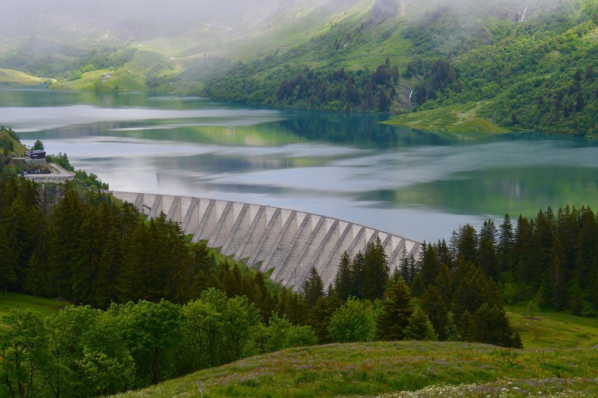
I left Nesrine in Annecy, and set out for an epic day of hiking in the mountains. I left the city at 5am, and drove to the Lac du Roselend, to hike the Randonnée du Rocher du Vent.
I finished the first hike around 1pm, and ate a quick lunch in my car. The second hike of the day was further north, and I drove 2h to reach the next destination: Passy. I drove all the way to the lake, and was lucky to find an empty parking spot right next to the lake.
I walked for a few seconds between trees, and got my first look at the Lac Vert. I immediately understood why it’s named the Green Lake.
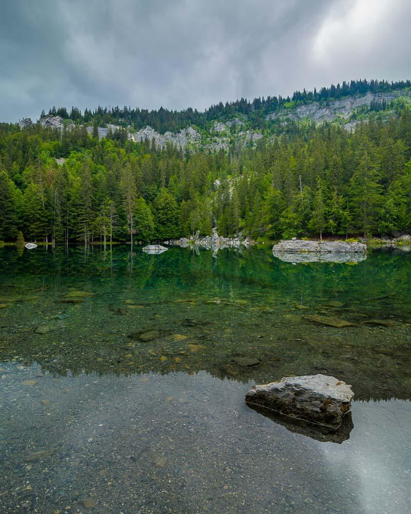
All the trees surrounding the lakes were so vibrant with green, and they reflect in the water giving it a nice green color.
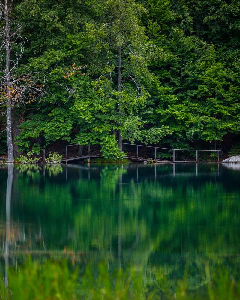
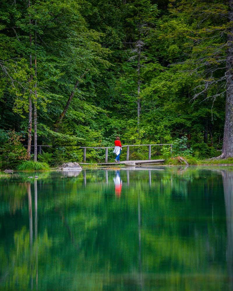
When coming from the parking lot, I reached a wooden platform over the lake, where people usually go to get nice photos.
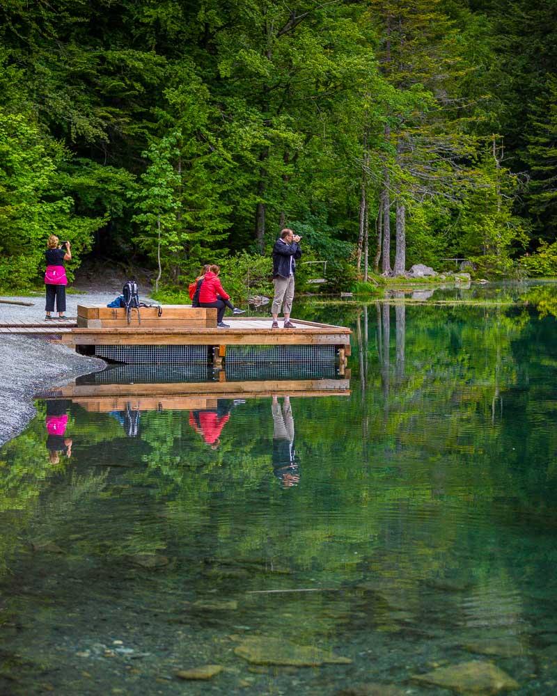
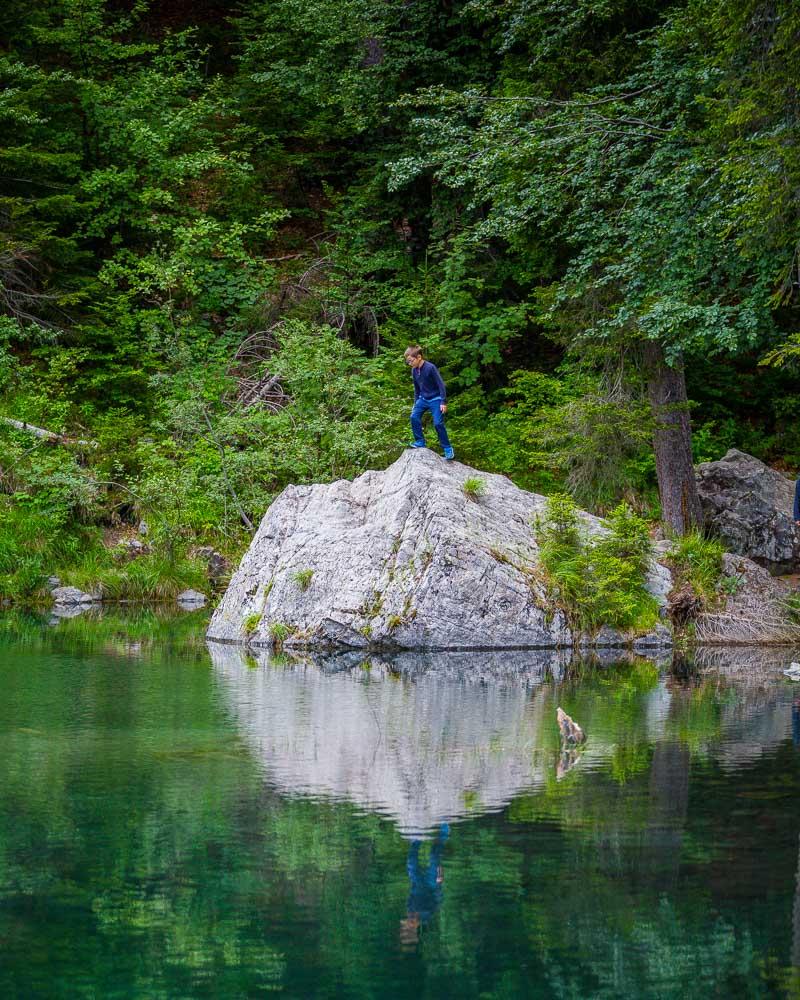
I love how you can walk all around the lake, right next to the water to enjoy the reflections. There are several spots where you can sit close to the water, and it’s the perfect spot for a snack.
There are wooden bridges going over the water in some parts around the lake, making it easy to walk around. This made for incredible photos, with people crossing the bridges and reflecting in the water below.
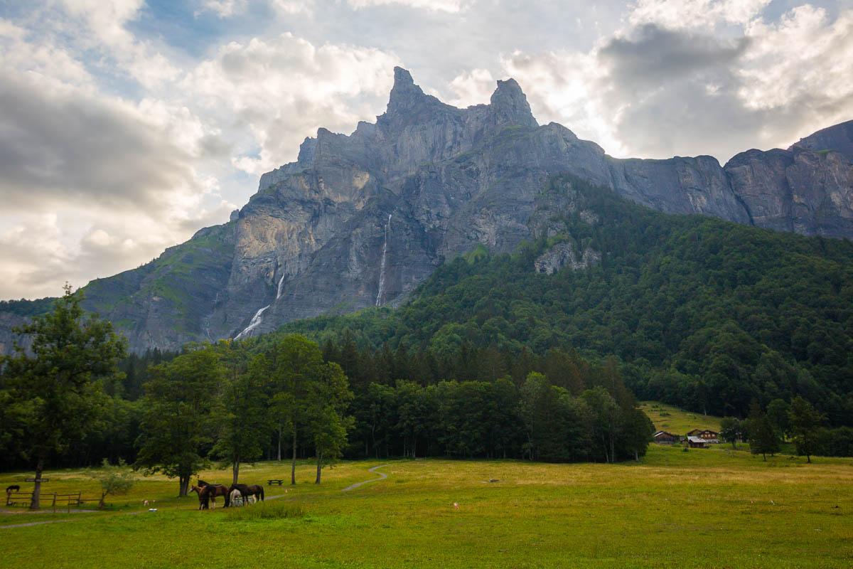
If you get to the other side, where the bridge is, you’ll be able to see the Mont-Blanc over the trees. In good days, you’ll even catch the Mont-Blanc reflecting in the water!
After enjoying this beautiful lake for a while, and taking plenty of photos, I was ready to go on the final hike of the day: the hike to the Lac Pormenaz, starting from the Lac Vert.
Visit Haute-Savoie
Planning your trip to Haute-Savoie? You’ll find below a few other travel guides & key spots to see in the area.
Best hikes around Annecy:
Great outdoor destinations near Annecy:
The BIG guides:
I hope you enjoy your trip to Annecy and to France; if you have any questions, let me know in the comments below, I always reply.
Help a fellow traveler and share this guide with the buttons below!
Travel Tools
Use any of our recommended links below to book your trip. You pay the same, and we earn a small fee; a great way to support us!

Pin this to Pinterest!
Enjoyed this guide? Then help a fellow traveler and pin it! They'll most definitely love you for it, 100% guarantee.


What a beautiful lake! Your pictures are gorgeous. We’ll definitely come for a visit. Thank you.
Hello! This post is very nice!
Is there bus from Servoz to Lac Vert?
Hi Thayni! It seems there are shuttles going to the lake from the Servoz station, you can check here: https://www.chamonix.net/english/transport/bus
But as we were traveling the region by car, we haven’t experienced the bus service so we can’t guarantee it is well served.